
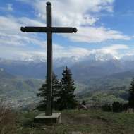
The Bénés Plateau as seen from Tête Noire – hiking trail
Hard
3h
6.2km
Loop
+586m
-586m

1 / 7
Description
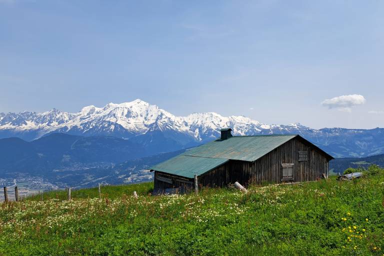
A 360° view of the Mont Blanc range, the Fiz range, and the Aravis range. In the summer, you’ll find herds grazing around the Bénés alpine chalets.
Explore the Bénés Plateau, with breathtaking views of the Aravis and the Mont Blanc range! This hiking trail offers a variety of routes rated orange (fairly difficult) and red (difficult), delighting hikers seeking challenges and spectacular panoramic views.
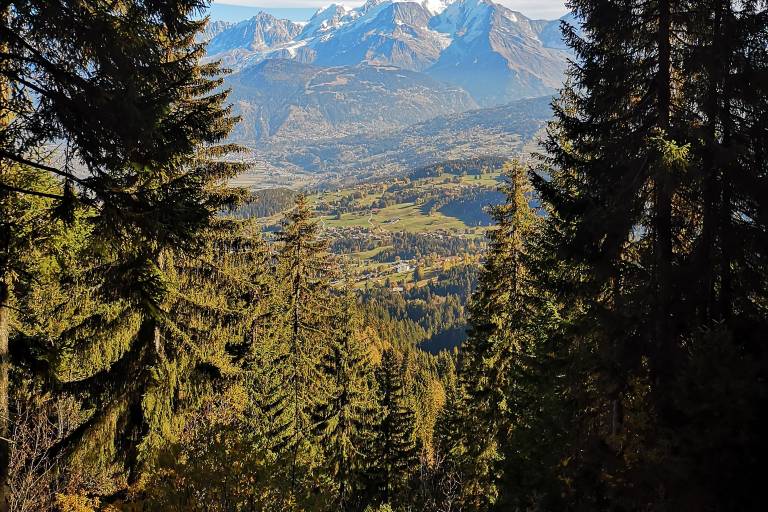
Starting from the Peray parking lot, the route begins with a walk through the forest. The magic begins as the trail leads you up to the plateau, an open space where the view opens up to the surrounding mountains.
In summer, this is where pastoral life comes to life, with cows enjoying the view and the fresh grass.
Please note: This hike is accessible starting in late spring, as it depends on snow conditions along the route.
Difficult sections
The suggested return route is slightly steep: please be careful.
Marking
Departmental signage on a beige metal sign with green lettering
Map references
IGN Map 3430ET - LA CLUSAZ LE GRAND-BORNAND
"Les Belvédères du Mont-Blanc" map on sale for €7 at the tourist office
Snowshoe and summer trail map from Cordon Tourisme
Amenities
Guided steps
Along the way