
A Walk to the Edge of the Alpine Pastures - Hiking Trail
Medium
2h40min
6.3km
Loop
+443m
-443m

1 / 4
Description
A short, easy hike through farms and cabins, along roads and trails, at a moderate elevation and on the edge of the alpine pastures.
Get closer to the mountains with this moderate hiking trail, ideal for all hikers.
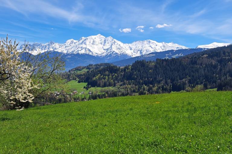
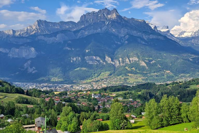
Starting from the Charbonnière parking lot, this trail takes you through forests before reaching the ski slopes. You’ll enjoy a beautiful panoramic view of the surrounding mountain range and the majestic Mont Blanc.
As you walk, you might even spot cows grazing, adding a bucolic touch to your adventure. Suitable for hikers of all levels (blue—moderate), this trail is also open to walkers accompanied by their pets on a leash.
Set between the village and the alpine pastures, this hike is ideal for discovering the mountain world.
Difficult sections
None, but be careful: the crossing cannot be made too early in the spring due to the presence of the stream and snow bridges.
Marking
Departmental signage on a beige metal sign with green lettering
Map references
IGN Map 3430ET - LA CLUSAZ LE GRAND-BORNAND
"Les Belvédères du Mont-Blanc" map on sale for €7 at the tourist office
Snowshoe and summer trail map from Cordon Tourisme

