

Petit Croisse Baulet via les Bornes Romaines - hiking trail
Hard
5h
14.5km
Loop
+915m
-915m

1 / 9
Description
Climb the Petit Croisse Baulet, discovering the famous Roman milestones along the way.
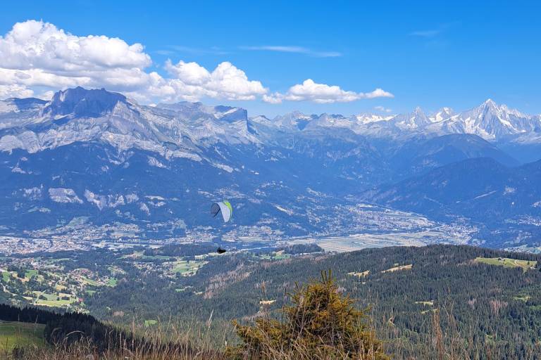
Start the hike at the forest road in the Jorasse Forest. After a long stretch in the shade, the landscape will open up to reveal the surrounding mountains: the Aravis Range and the Mont Blanc Massif.
Once you reach the Chalet de l’Avenaz, you’ll have one last push before reaching the pass, then continue along a ridge trail to reach the Petit Croisse Baulet. You’ll enjoy a bird’s-eye view of the Mont Blanc massif and the Aravis Range, with the village of La Giettaz below.
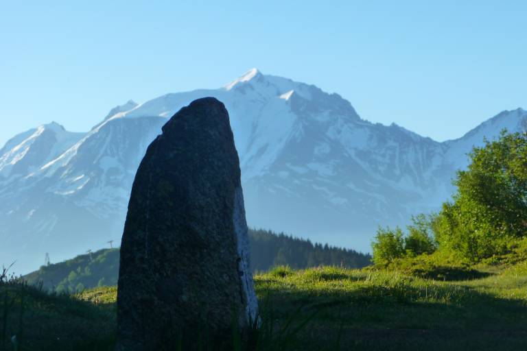
Starting from the Col de l’Avenaz, you’ll come across three Roman boundary stones. But what exactly is a Roman boundary stone?
A Roman boundary marker is an ancient structure embedded in the landscape that was used to demarcate the parish boundaries of municipalities.
Here is where the three Roman boundary markers are located along your route:
- The Col de l’Avenaz marker
- The Petit Croisse Baulet boundary stone
- The Col du Jaillet boundary stone
Please note that these boundary stones are located in the wilderness and do not have any facilities or interpretive displays explaining their history.
To learn more about this topic, we recommend the book by the Cordon Heritage Association “Hier pour Demain,” titled “Des Bornes Romaines aux Alpages,” available for purchase at Cordon Tourisme.
Marking
Departmental signposting on beige metal panels with green writing.
Map references
Map IGN 3430ET - LA CLUSAZ LE GRAND-BORNAND
Les Belvédères du Mont-Blanc map on sale for €7 at the tourist office.


