
La Plagne Loop - Winter Hiking Trail
Easy
1h30min
2.8km
Loop
+150m
-150m

1 / 5
Description
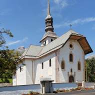
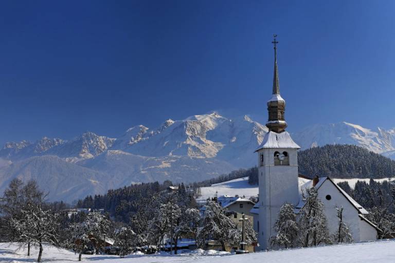
A walking (or snowshoeing) trail starting at the church in Cordon, offering a chance to explore the village and its hillsides, farms, granaries, and bread ovens... A short loop, but with a fairly steep section halfway through.
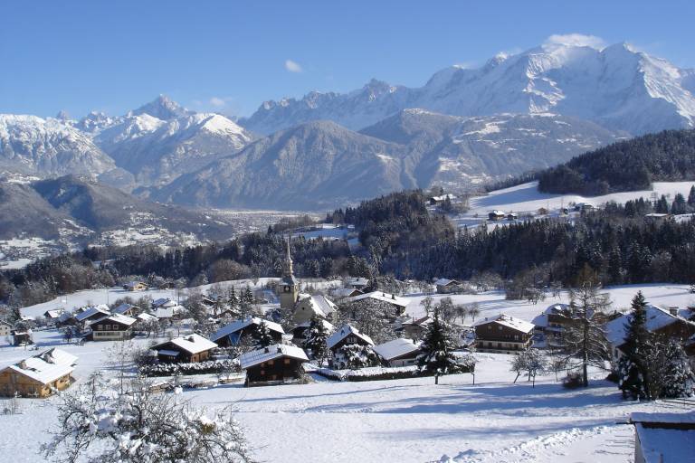
This loop trail, which combines hiking trails and roads, will allow you to explore the iconic village of Cordon from a higher vantage point. You’ll enjoy a splendid view of the Mont Blanc massif and the village.
Marking
Fuchsia-colored directional signs
Map references
IGN Map 3430ET - LA CLUSAZ LE GRAND-BORNAND
"Les Belvédères du Mont-Blanc" map on sale for €7 at the tourist office
Snowshoe and summer trail map from Cordon Tourisme